Topics covered:
Commuting in Boston isn't always easy. The challenge isn't about figuring out the transit system itself; it's figuring out how to get where you need to go as efficiently as possible- Boston is, after all, reportedly the city with the fourth-worst traffic in the US.
Boston’s public train system includes the Red Line, Orange Line, Blue Line, Green Line, Silver Line (technically buses), plus the Commuter Rail. Depending on where you live and where you’d like to go, getting from one location to another may require a combination of driving, parking near a station, taking the train, and walking. And if your alternative is driving the entire way, road traffic can quickly turn a straightforward commute into a frustrating one.
As a real estate agent, I’m often talking to clients about commute options. One of the biggest considerations is figuring out how trains and parking can work together - especially if one would rather drive part of the way and take the train into the city. That’s where this map comes in. It puts Boston’s transit lines and nearby parking options in one place, so you can see which stations have parking, what those facilities offer, and whether leaving the car outside the city could actually make your commute more efficient.
If you're new to Boston and trying to decide whether you should get a car, rely primarily on public transit, or use a mix of both, this map gives you a simple way to see your options.
Still deciding whether you need a car? "How to get around Boston without a car," is worth a read. It may answer half your commute questions before you even open the map!
1. How to understand the MBTA

The MBTA, short for Massachusetts Bay Transportation Authority, is the public transit system that serves Boston and the surrounding communities. Locals call it “the T” (short for "Transit").
The subway map itself is relatively straightforward. What can be less obvious, especially if you're new to Boston, is that the network includes several different forms of transportation which have variable frequencies to their arrival.
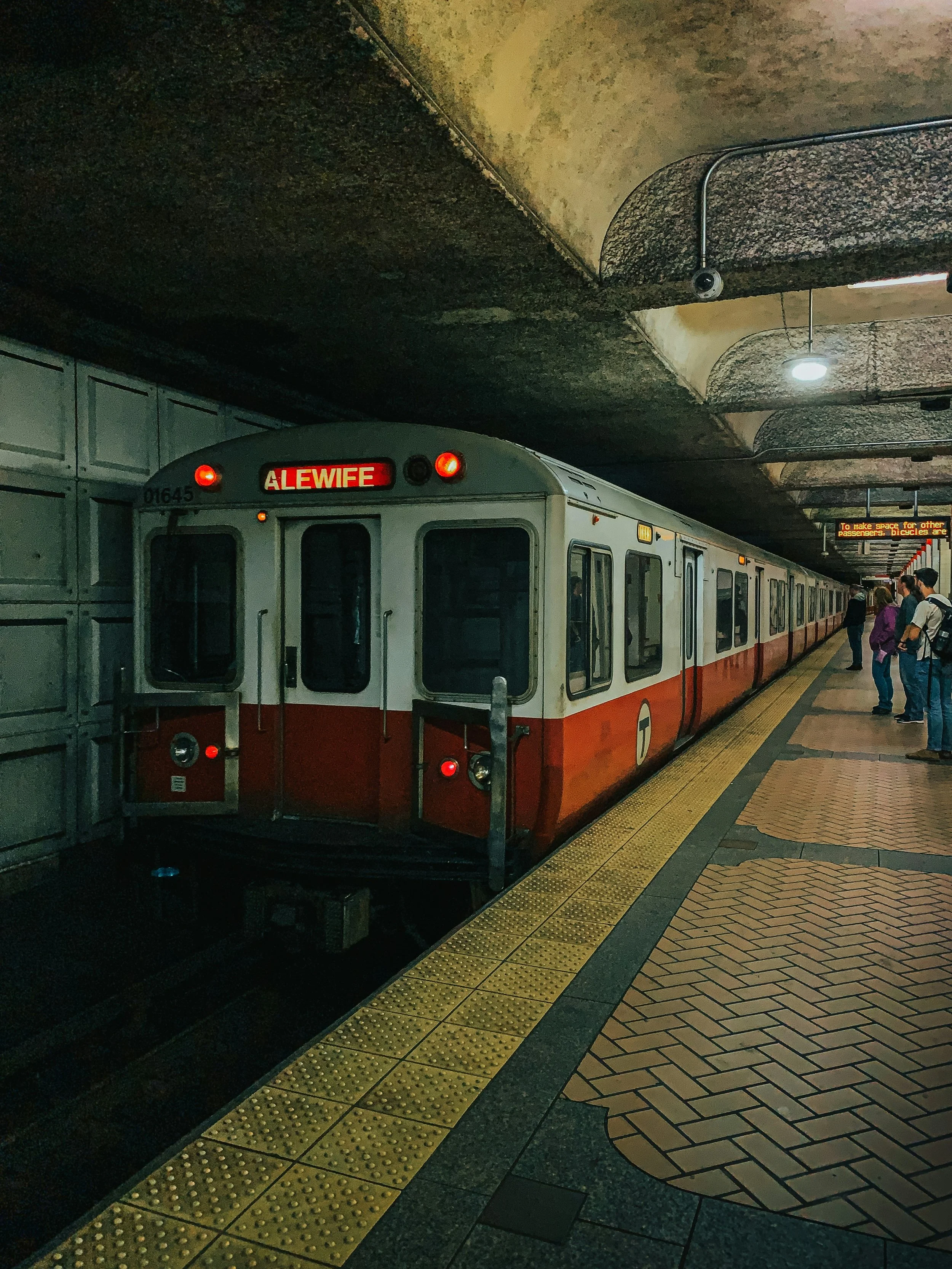
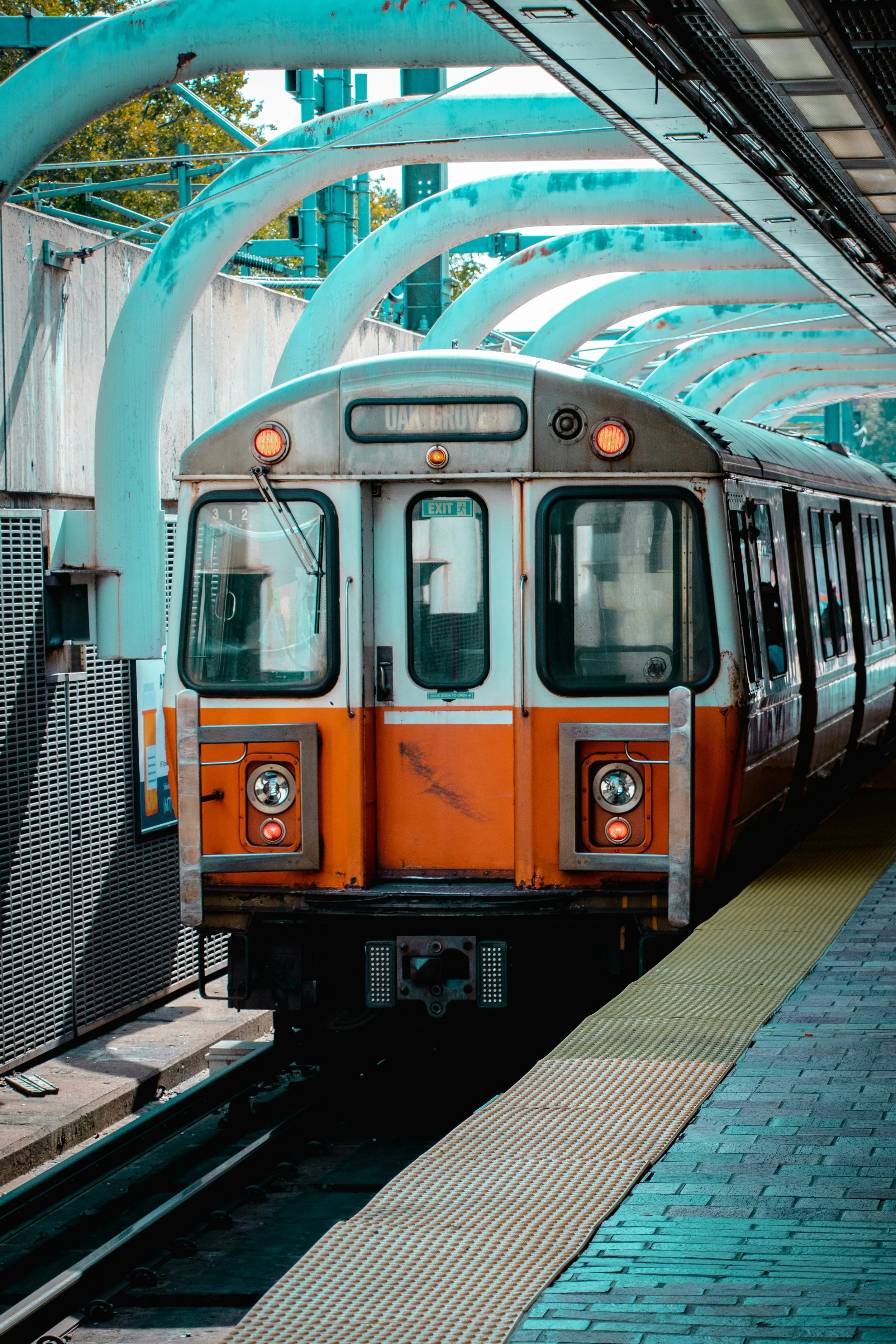
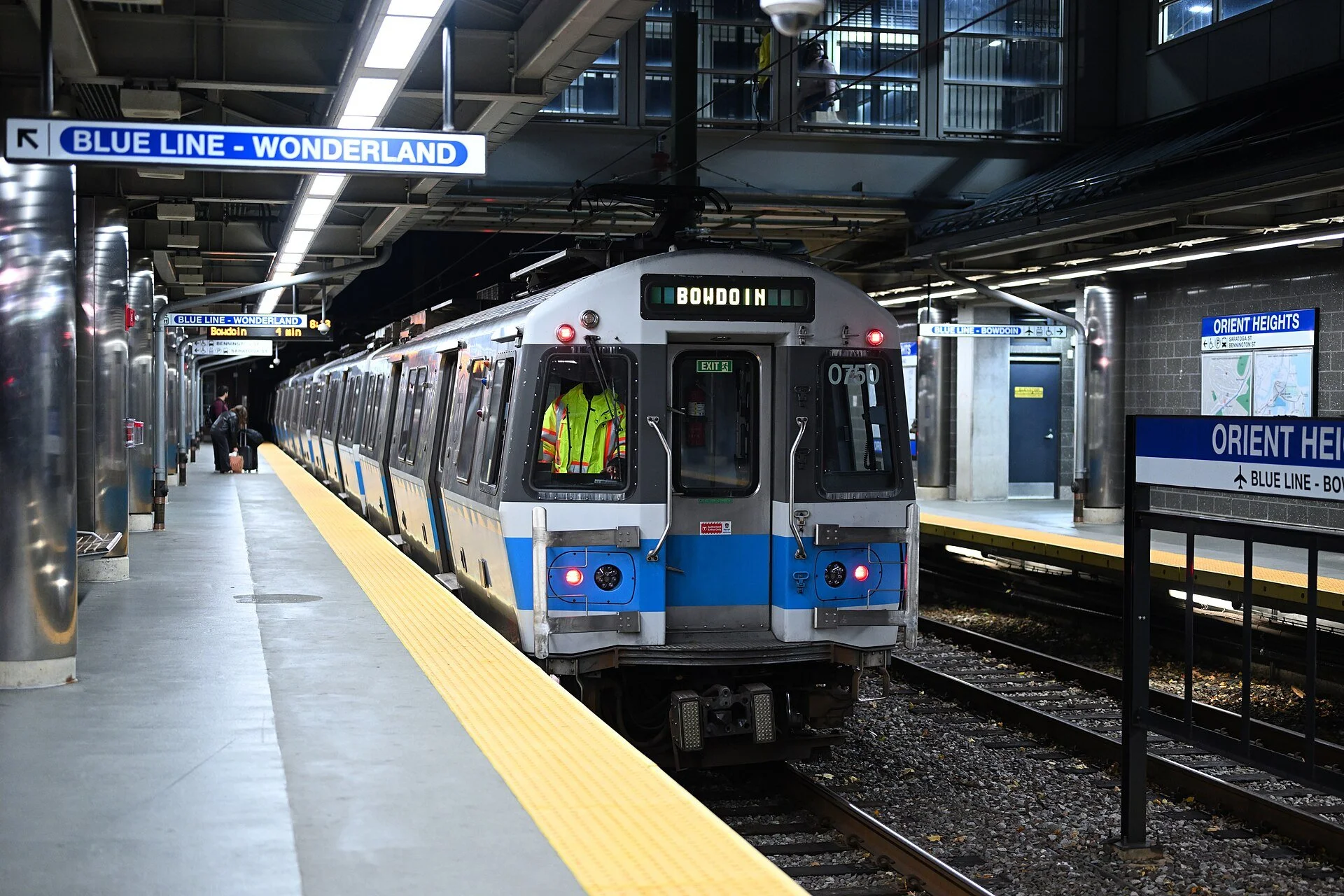
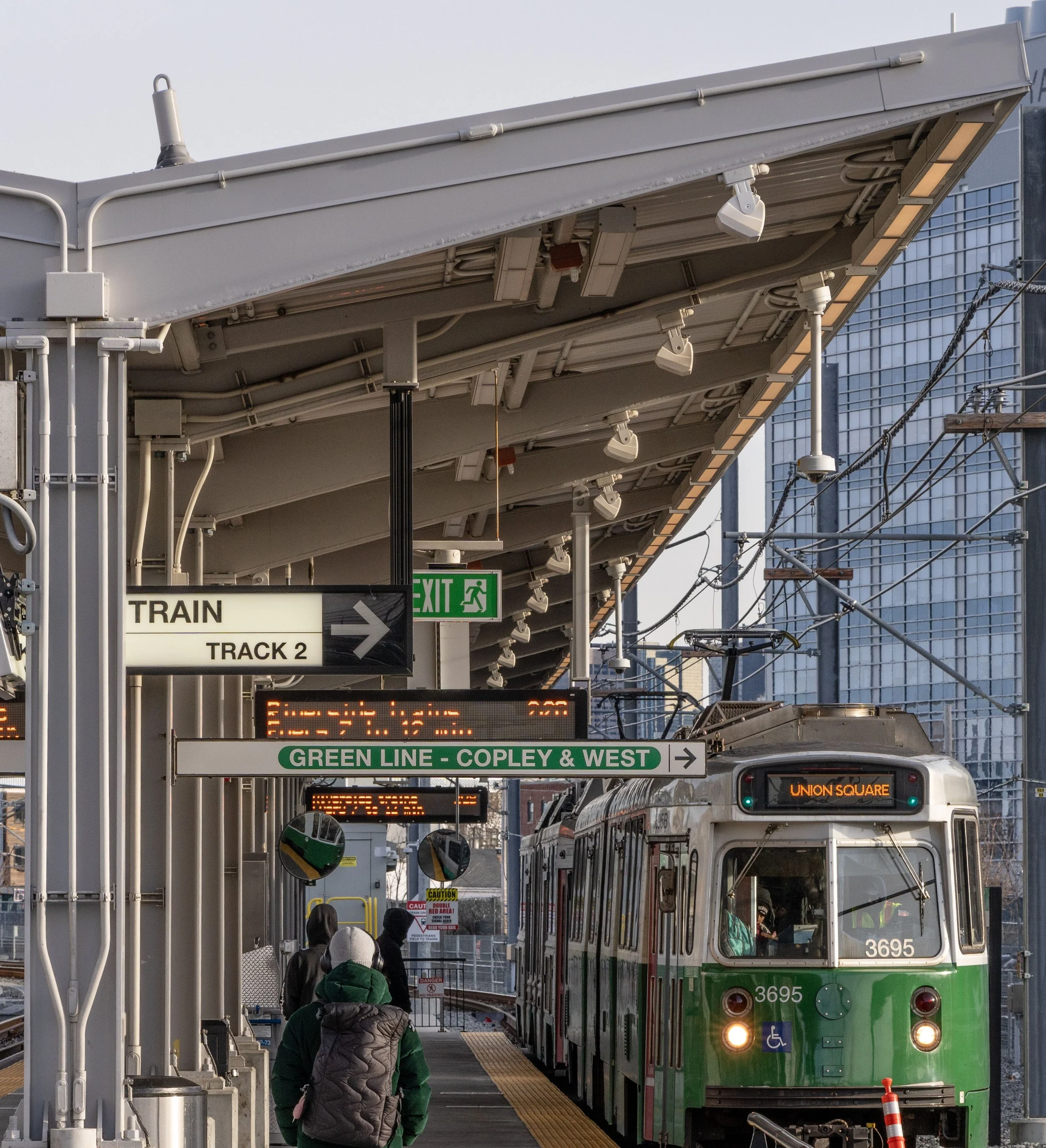
Here’s what the colors represent:
Red, Orange, and Blue Lines represent the Subway 🚇
Green and Mattapan Trolley represent Street Cars/Rail 🚃
Silver Lines (light grey) represent the Bus 🚍
Purple Lines represent the Commuter Rail 🚂
Putting all these options together on one map makes it much easier to see how Boston's transit system fits together geographically. That is especially useful when you're trying to answer a very practical question: "What's actually the easiest way for me to get to work?". You can see which types of transit are close to your home, which station gets you to your destination, and where you might be able to switch from driving to public transportation
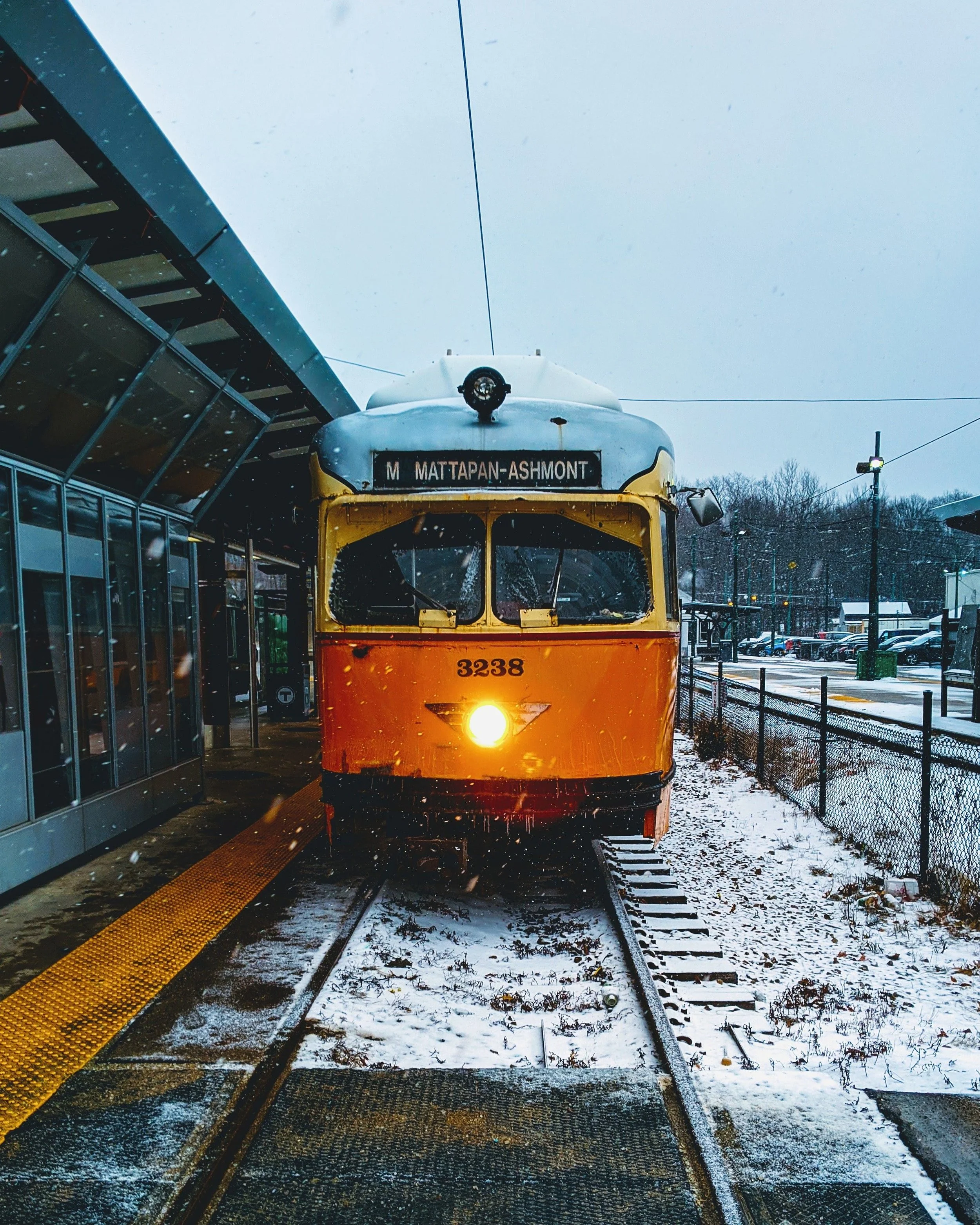
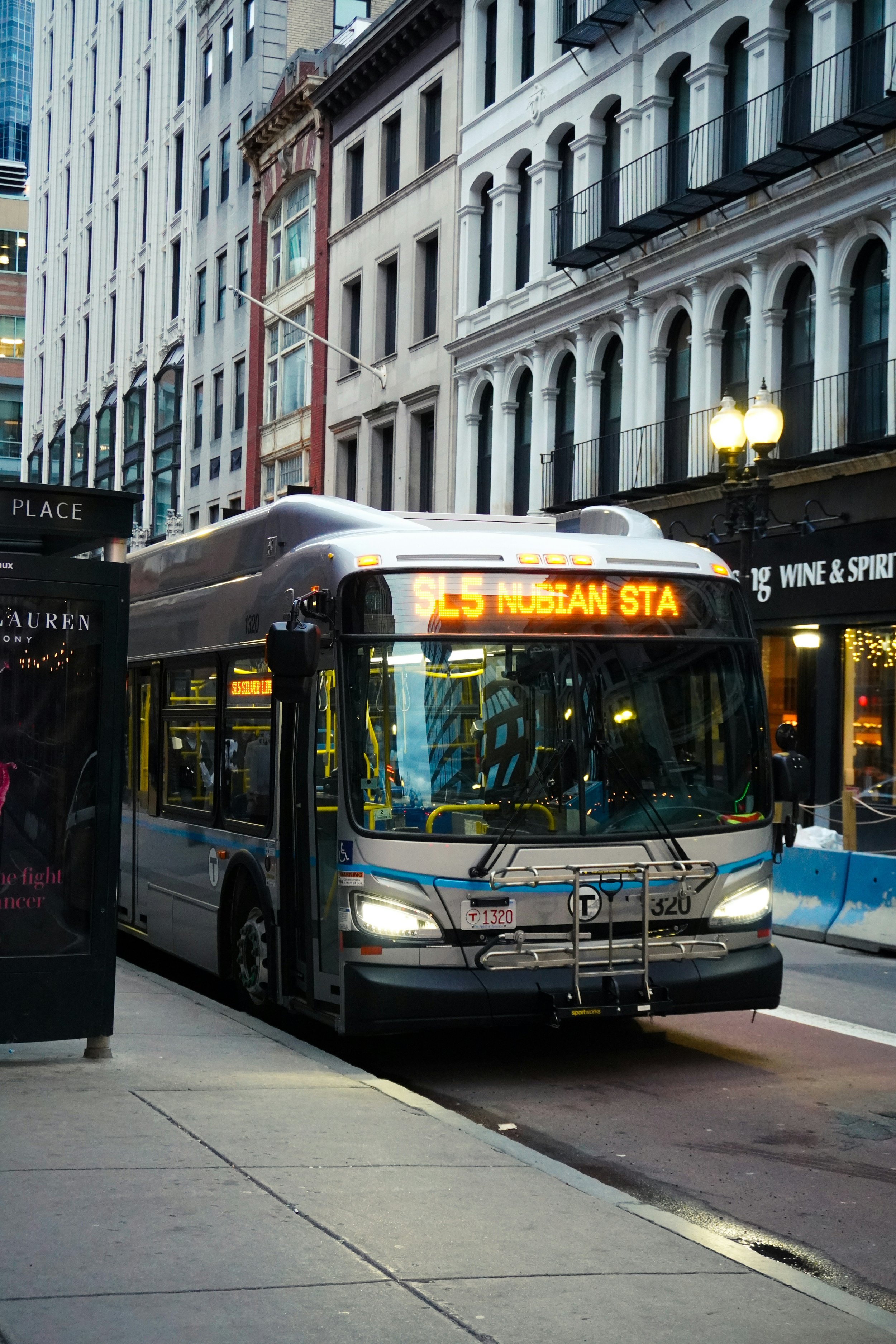
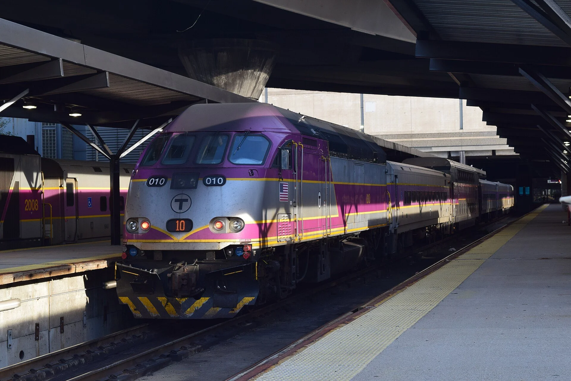
2. How to find parking near an MBTA station?
Not everyone who works in Boston wants to drive all the way into the city. During peak hours, traffic can mean spending a significant part of your commute sitting in slow-moving traffic - especially if your destination is better served by public transportation.
If you'd rather drive part of the way and take the T for the rest, this map also shows public parking facilities within about a 5-minute walk of a T station. These are marked with a 🅿️ icon. Click on one, and you'll see essential details about the facility, including:
Available parking spaces
Parking rates
Location
If you're considering a park-and-ride commute, the map makes it easier to compare your options and see whether leaving your car at a T station could save you time and avoid some of the traffic involved in driving all the way into Boston.
And if you DO decide to get a car, here's how to get or convert your driver's license to an MA one, and here's how to get a car in Boston.
Looking to get settled in Boston and could use the help of a real estate professional? Contact me!